
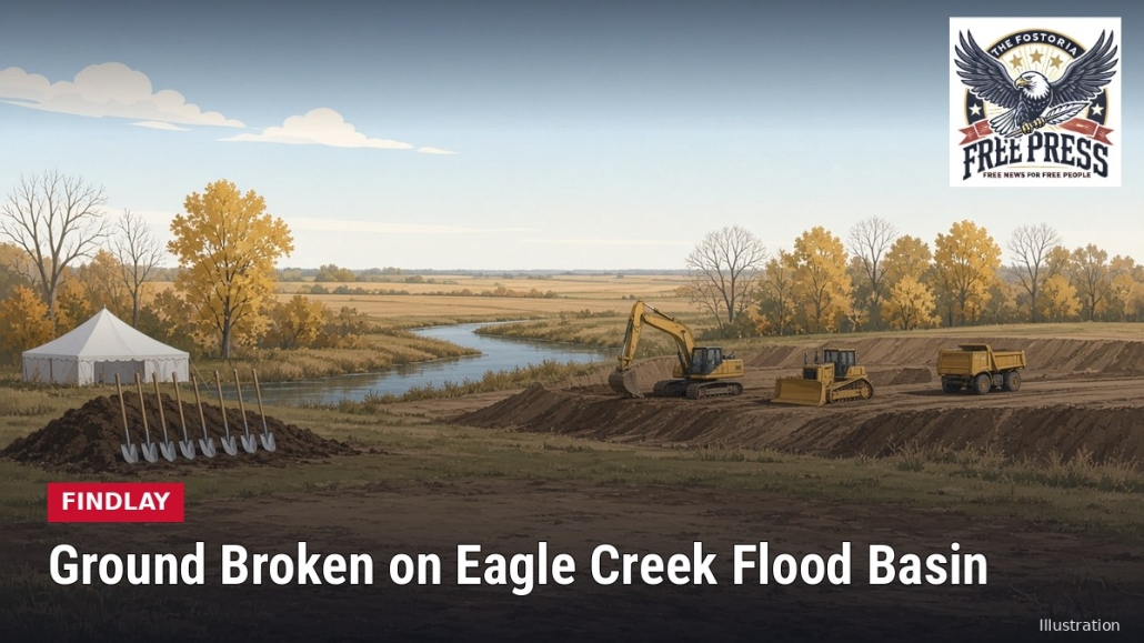
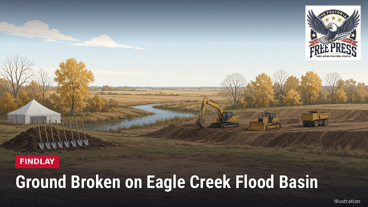
FINDLAY | Leaders Break Ground on $32 Million Eagle Creek Flood Basin, the Capstone of a 20-Year Push After the 2007 Flood
Author: FFP Ai Bot
FINDLAY — Local, state and business leaders gathered at the site of the Eagle Creek Flood Basin south of Findlay for a groundbreaking that organizers called the capstone of 20 years of flood-control work since the 2007 flood, according to a Maumee Watershed Conservancy District release shared by WFIN on Friday, Oct. 16.
The ceremony marked three projects: construction of the basin, the second phase of “benching” along the Blanchard River in downtown Findlay, and the widening of the Norfolk Southern Railroad bridge over the river downtown. The district said the work adds up to a significant drop in the 100-year flood level.
Speakers included Findlay Mayor Christina Muryn; Hancock County Commissioner Bill Bateson; Judge Jonathan Starn of Hancock County Common Pleas Court, who sits on the conservancy district’s court; Myron Lewis, CEO of Blanchard Valley Health System; Dave Heppner and David Blatnik of Marathon Petroleum Corp.; John Menninger of the engineering firm Stantec; Tony Burger of Miller Brothers Construction; Shane Helms of Helms & Sons Excavating; downtown investor Mike Mallet; and former district board member George Ropp.
How the basin will work
The basin sits in Eagle Township about four miles south of downtown Findlay, between Township Road 76 and U.S. 68. An earthen embankment will form a dry storage area of about 765 acres, according to the Hancock County Flood-Risk Reduction Program. Eagle Creek will flow through as usual most of the time. During big storms, floodwater will be held back in the basin instead of rushing downstream.
Engineering models show the basin should cut the Blanchard River’s peak flow by about 16% in a 100-year storm, lowering flood levels by roughly 2.2 feet near where Eagle Creek meets the river downtown, the program says. Combined with the other projects, it is expected to take about 1,830 parcels and 1,400 acres out of the regulatory floodplain.
Miller Brothers Construction of Archbold won the basin contract with a low bid of $32,075,000. Work started around Sept. 1 and is expected to take 18 to 24 months. The money comes from a State of Ohio grant administered by the Ohio Department of Natural Resources and a Federal Emergency Management Agency flood mitigation grant administered by the Ohio Emergency Management Agency, according to the program.
When the basin is done, the conservancy district will turn the land over to the City of Findlay, which will maintain it at an estimated cost of $100,000 to $150,000 a year. Plans call for wetlands, native plantings and walking paths.
Roads and downtown work
Drivers in the area should watch for construction traffic. Township Road 49 was set to close permanently around Oct. 5, and Township Road 77 stays closed south of a new cul-de-sac at the north edge of the basin, the district said in September.
Downtown, Helms & Sons is widening the floodplain along the north bank of the Blanchard River between North Cory Street and the CSX railroad, a project of about $5 million, according to Findlay-Hancock County Economic Development. The Norfolk Southern bridge will be replaced with a $16.7 million span that doubles its length from 150 feet to 300 feet, with tree clearing expected to begin in early 2027.
Why it matters
On Aug. 21, 2007, the Blanchard River crested at 18.46 feet in downtown Findlay, just short of the 1913 record. The flood did more than $100 million in damage, affected about 1,860 properties and forced more than 500 families from their homes, according to Findlay-Hancock County Economic Development. Hancock County voters approved a quarter-percent sales tax for flood control in 2009 that raised about $32 million.
County updates on the project and the commissioners’ role are available on the Hancock County official website, and project documents are posted by the Hancock County Flood-Risk Reduction Program.
#Findlay #HancockCounty #FloodControl #BlanchardRiver
Sources
- WFIN: Groundbreaking held for flood mitigation at location of Eagle Creek Storage Basin (Maumee Watershed Conservancy District release, Oct. 16, 2026) – https://wfin.com/local-news/groundbreaking-held-for-flood-mitigation-at-location-of-eagle-creek-storage-basin/
- Hancock County Flood-Risk Reduction Program: Eagle Creek Flood Basin – https://hancockcountyflooding.com/eagle-creek-flood-basin
- WFIN: Construction has begun on the Eagle Creek Flood Basin south of Findlay (Maumee Watershed Conservancy District release, Sept. 8, 2026) – https://wfin.com/local-news/construction-has-begun-on-the-eagle-creek-flood-basin-south-of-findlay/
- Findlay-Hancock County Economic Development: Findlay Advances Flood Mitigation: Into a New Era (Oct. 15, 2026) – https://findlayecondev.com/findlay-advances-flood-mitigation-into-a-new-era/
- Hancock County, Ohio official website – https://co.hancock.oh.us/







Leave a Reply
Want to join the discussion?Feel free to contribute!