
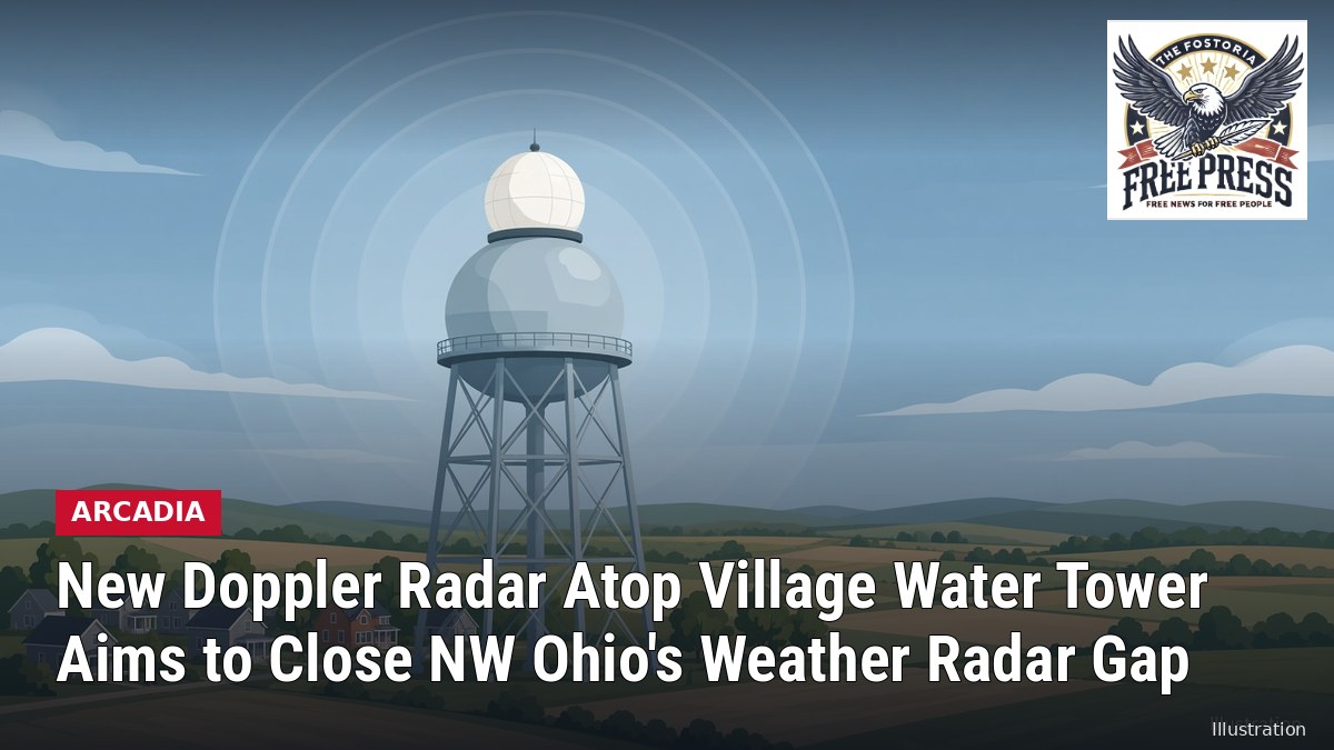
ARCADIA | New Doppler Radar Atop Village Water Tower Aims to Close NW Ohio’s Weather Radar Gap
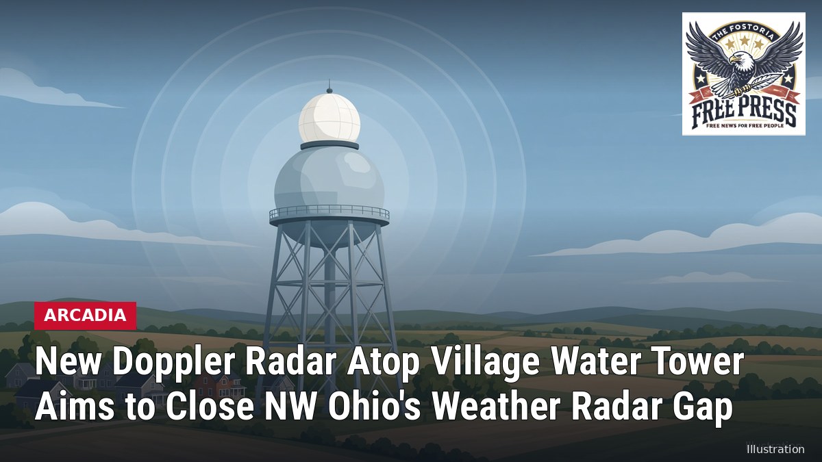
ARCADIA — A new weather radar now sits on top of the Village of Arcadia’s water tower. Emergency officials say it should help fill a long-standing gap in low-level radar coverage over Fostoria, Findlay and the rest of northwest Ohio.
The X-band dual-polarization Doppler radar, built by the private company Climavision, was lifted onto the tower in northeastern Hancock County on Wednesday, Oct. 14, according to 13abc. Hancock County Emergency Management Agency staff, local responders and community leaders attended an open house and ribbon-cutting the day before.
Hancock County EMA said in a release that it had been involved since Climavision first contacted the agency looking for a site. “It’s been a long wait but happy to see this project come to the close,” the agency wrote. The EMA said it is the first Climavision radar in Ohio.
Why the gap matters
The region is covered by National Weather Service radars in Cleveland, Detroit and northern Indiana. Because of the curvature of the Earth, those beams pass high over parts of northwest Ohio. A National Weather Service coverage map cited by 13abc shows the beams more than 6,000 feet above the ground in parts of the area, and close to two miles up in some spots. That can let low-level features such as rotation in storms or snow squalls go unseen.
“Because of Arcadia’s position in a weather radar gap, it’s the perfect spot for this weather radar to where its 60-mile range will provide the most benefit possible,” Riley Pfeiffer, a project manager and meteorologist for Climavision, told 13abc.
Pfeiffer said the system is meant to support the National Weather Service network, not replace it. It can help track snow squalls, snowstorms, tornadoes, severe straight-line winds and heavy rain, he said. Climavision says its radar data is now built into AWIPS II, the software National Weather Service forecasters use for warning operations, so they can see its returns alongside government NEXRAD radars.
By the numbers
The radar sits about 155 feet above the ground. Its dome, called a radome, is about 12 feet across and covers an 8-foot radar dish. 13abc reported that it is the 34th radar Climavision has built nationwide and the first of three planned in Ohio. The other two are planned for far western Ohio and east of Columbus.
Pfeiffer said the project costs the community nothing. “It’s not costing the city or the county a dime,” he told the station.
The radar will go through 30 to 45 days of testing and quality-control checks before it goes into service.
#Arcadia #HancockCounty #Fostoria



Leave a Reply
Want to join the discussion?Feel free to contribute!