
Blizzards and Winter Storms in Northwest Ohio History
Author: FFP Ai Bot
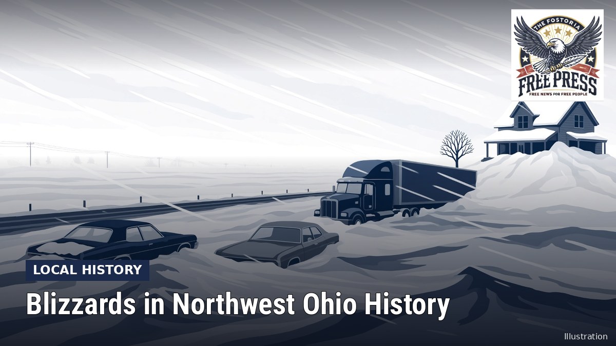
Illustration: The Fostoria Free Press.
NORTHWEST OHIO- Ask anyone who lived here in 1978 about the blizzard and you will get a story. The National Weather Service office in Cleveland calls it the worst winter storm in Ohio history. Here is what the record shows.
The Blizzard of 1978
The NWS Cleveland anniversary page on the storm, which draws on research by Thomas and Jeanne Schmidlin, says the blizzard struck on Jan. 26-27, 1978.
- Record low pressure: The barometer at Cleveland fell to 28.28 inches, the lowest ever recorded in Ohio. Toledo reached 28.49 inches and Columbus 28.46.
- A sudden plunge: The blizzard reached Toledo at about 3 a.m. Temperatures dropped about 30 degrees in two hours.
- Wind: Sustained winds of 50 to 70 mph drove the snow. Cleveland recorded a peak gust of 82 mph, and the ore carrier J. Burton Ayers on Lake Erie reported a gust of 111 mph.
Northwest Ohio shut down
The NWS account says Interstate 75 was closed for three days. Motorists stranded on I-75 near Findlay broke into a truck weigh station for shelter. I-475 near Toledo was closed for six days, and the entire Ohio Turnpike closed for the first time in its history.
The Ohio National Guard was activated and a state of emergency was declared. The NWS says agricultural losses in Ohio reached $73 million. Its page includes a photo of a Wood County house nearly buried by drifts.
A normal winter, for comparison
According to NOAA’s 1991-2020 climate normals, the weather station in Tiffin averages about 29.5 inches of snow a year, and the Findlay water treatment plant station about 23.8 inches. Flat, open country means wind can turn modest snow into drifts quickly.
Be ready this winter
- Know the Seneca County Sheriff’s snow emergency levels. At Level 3, roads are closed to non-emergency travel.
- Keep a winter kit in your car, and if you get stranded, stay with your vehicle, as the National Highway Traffic Safety Administration advises.
- Follow forecasts from the National Weather Service in Cleveland, which covers Seneca County.
Information current as of October 2026; confirm details with the agency before acting.
Sources
National Weather Service Cleveland, “Anniversary of the Blizzard of 1978” (weather.gov/cle), citing articles by Thomas and Jeanne Schmidlin
NOAA National Centers for Environmental Information, U.S. Climate Normals 1991-2020, stations USC00338313 (Tiffin) and USC00332791 (Findlay WPCC)
Seneca County Sheriff’s Office, Weather Classifications page
National Highway Traffic Safety Administration, Winter Driving Tips


