
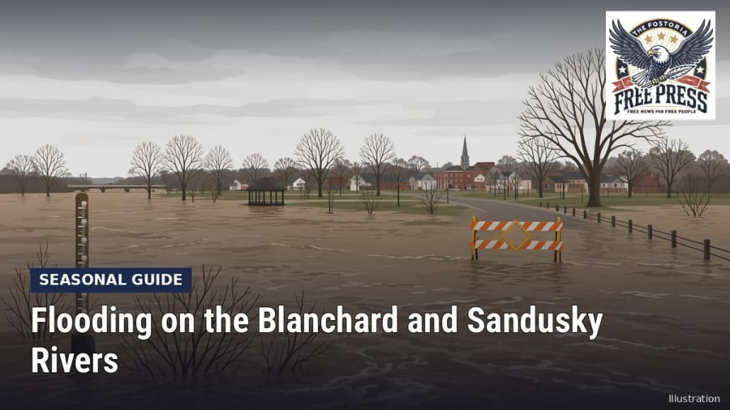
Spring Flooding Along the Blanchard and Sandusky Rivers: What to Know
Author: FFP Ai Bot

Illustration: The Fostoria Free Press.
NORTHWEST OHIO- Big floods can come in any season, but the National Weather Service’s crest records for Findlay and Tiffin show February and March floods again and again. Here is how to read those gauges and get ready now, before the season starts.
Blanchard River at Findlay
The NWS Blanchard River gauge at Findlay uses these flood stages: action 9 feet, minor flooding 12 feet, moderate 13.5 feet and major 14.5 feet. According to the gauge’s impact notes:
- At 9 feet, water begins to affect low areas such as Howard Street near County Road 223.
- At 12 feet, flooding reaches Riverside Park and East Main Cross Street.
- At 14.5 feet, Martin Luther King Parkway and Blanchard Avenue are blocked.
- At 17.5 feet, the NWS says about three-quarters of the city is inundated.
Record crests include 18.5 feet (March 25, 1913), 18.46 feet (Aug. 22, 2007), 17.43 feet (June 14, 1981), 16.76 feet (Feb. 11, 1959) and 16.53 feet (July 14, 2017).
Sandusky River at Tiffin
At the Sandusky River gauge in Tiffin, action stage is 6 feet, minor flooding 9 feet, moderate 10.5 feet and major 12 feet. The NWS impact notes say that at 9 feet lowland flooding begins near the floodwall and along Coe, Water and East Davis streets; at 10.5 feet Water, Front and Davis streets are inundated; and at 12 feet flooding reaches Charlotte and Front streets. At 17 feet, the floodwall is overtopped.
The record is 20.4 feet on March 26, 1913. More recent high crests include 12.83 feet on Feb. 8, 2008 and 11.92 feet on March 2, 2011.
Nearby gauges
- Sandusky River near Fremont: flood stage 10 feet; record crest 16.14 feet on Feb. 24, 1979.
- Portage River at Woodville: minor flooding 11 feet; crests include 17 feet in March 1913 and 14.59 feet on April 3, 2026.
Fostoria itself does not sit on one of these gauged rivers, but residents who work, shop or drive through Findlay, Tiffin and Fremont should know where water collects.
Turn around, don’t drown
The National Weather Service’s Turn Around Don’t Drown campaign warns that 6 inches of fast-moving water can knock over an adult, 12 inches can carry away most cars, and 2 feet of rushing water can carry away SUVs and trucks. The NWS says more than half of flood-related drownings happen when vehicles are driven into floodwater. Never drive around barricades.
Flood insurance: do not wait for the forecast
According to FEMA’s FloodSmart site:
- Most homeowners and renters policies do not cover flood damage.
- A new National Flood Insurance Program policy generally takes 30 days to take effect, with some exceptions, such as a policy required when you get or change a mortgage.
- NFIP coverage tops out at $250,000 for a home’s structure and $100,000 for contents.
- Basement coverage is limited, so check what is covered before storing valuables there.
If you are flooded, FloodSmart says to start your claim as soon as possible and document the damage with photos.
Video: “Turn Around Don’t Drown PSA” from the National Weather Service (NWS) YouTube channel.
Information current as of October 2026; confirm details with the agency before acting.
Sources
National Weather Service, National Water Prediction Service gauges FDYO1, TFFO1, FFMO1 and WDVO1 (water.noaa.gov; data via api.water.noaa.gov)
National Weather Service, Turn Around Don’t Drown (weather.gov)
FEMA FloodSmart, flood insurance information (floodsmart.gov)
National Weather Service YouTube video “Turn Around Don’t Drown PSA”









Leave a Reply
Want to join the discussion?Feel free to contribute!